Mining Logistics Are Incredibly Complex
A large mining operation moves thousands of tonnes of material daily across a site that can span hundreds of square kilometres. Haul trucks, excavators, conveyors, trains, and processing plants all need to operate in coordination. The logistics challenge is immense. Inefficiencies in haulage routes, stockpile management, or equipment positioning compound over days and weeks into significant cost impacts.
Traditional logistics monitoring relies on GPS fleet tracking, manual surveys, and periodic reviews. These methods work but have gaps. GPS shows where vehicles are, not what they see. Manual surveys provide snapshots, not continuous visibility. And periodic reviews miss the real-time dynamics that drive daily operational decisions.
How Aerial Data Fills the Gaps
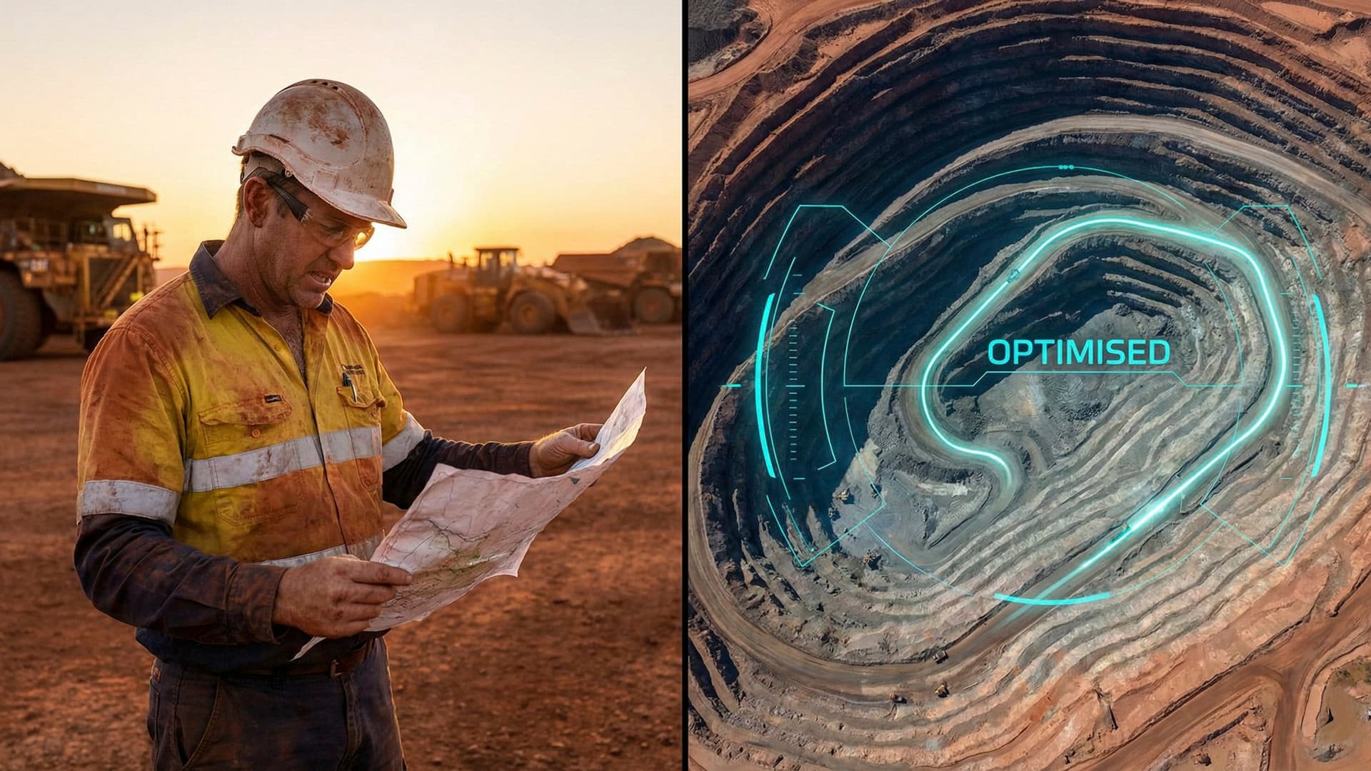
Drone-captured aerial data provides the comprehensive, visual context that other monitoring methods lack. A single survey flight can produce a georeferenced orthomosaic of the entire site, showing road conditions, stockpile locations, equipment positioning, and operational bottlenecks in a single image. Overlaying this data with GPS fleet tracking creates a complete operational picture.
Volumetric measurement from drone photogrammetry provides accurate stockpile data for materials management. Instead of relying on estimated volumes based on truck counts, operations can measure actual stockpile volumes to within 2-3% accuracy. This precision improves production reporting, reconciliation, and logistics planning.
Change detection between consecutive surveys identifies emerging issues. A road surface deteriorating. A stockpile growing beyond planned boundaries. Drainage patterns shifting after rainfall. These changes, visible from above but often invisible from ground level, inform maintenance scheduling and operational adjustments before they become problems.
Real-Time Operational Support
Beyond survey and mapping, drones provide real-time visual support for logistics decisions. A site manager dealing with a congestion point can launch a drone to see the full extent of the issue from above. Vehicles queuing at a dump point. Equipment blocking a haul road. Material spilling from a conveyor. The aerial view provides context that ground-level observation and radio reports cannot.
Safety monitoring is a critical logistics application. Drones can inspect road conditions, check blast area clearances, and verify exclusion zones are maintained without putting personnel in potential danger zones. For operations where worker safety and logistics efficiency intersect, such as active haul roads and dump areas, aerial oversight adds a layer of situational awareness that supports both objectives.
Integration with Digital Systems
The real power of aerial data emerges when it integrates with existing digital systems. Drone survey data fed into mine planning software updates the digital terrain model. Stockpile volumes integrate with materials management systems. Aerial imagery layers into GIS platforms alongside geological, environmental, and infrastructure data. This integration transforms aerial data from a standalone product into a component of the operation's digital ecosystem.
Some operations are building toward digital twin models that combine aerial survey data, real-time sensor feeds, and predictive analytics. The drone provides the visual layer, the regularly updated 3D representation of the physical site, that makes the digital twin a useful operational tool rather than a theoretical concept.
Getting Started with Aerial Data in Mining
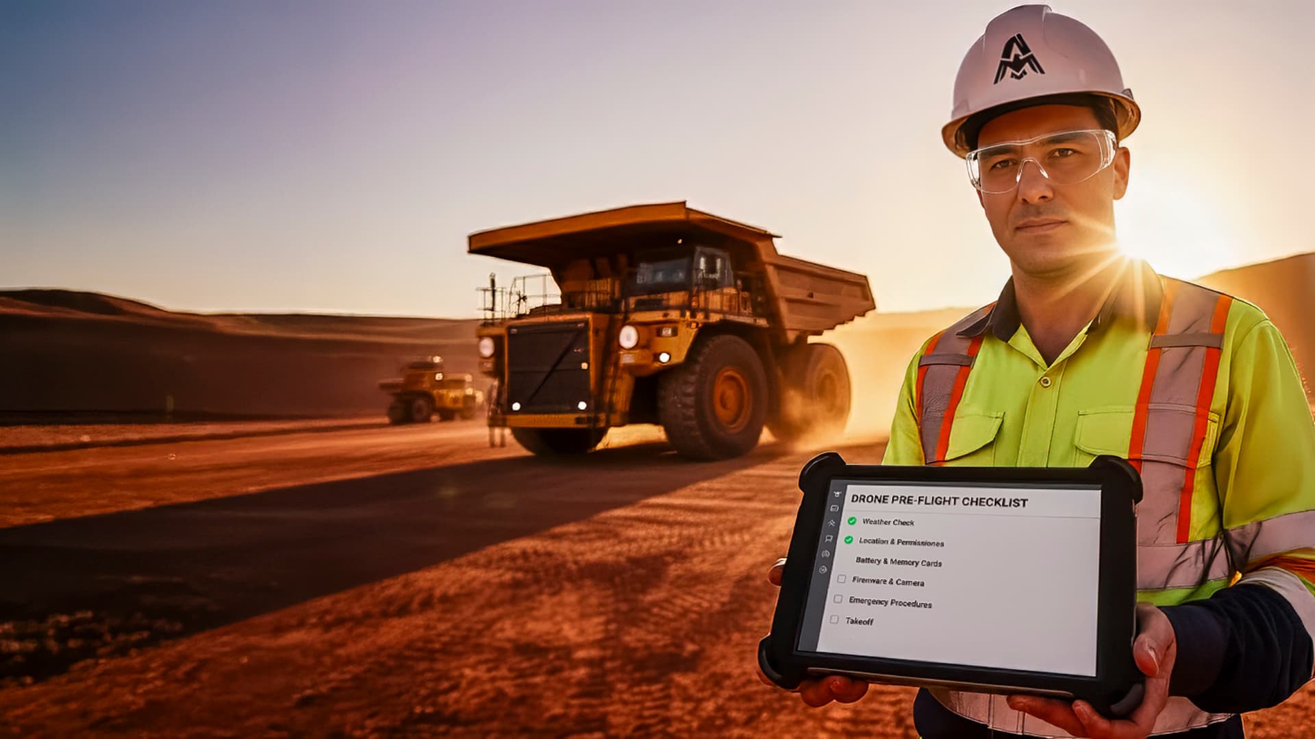
The entry point is straightforward. Regular drone surveys, monthly or weekly depending on the operation's tempo, provide the baseline data for volumetrics, progress monitoring, and change detection. As the operation builds experience with aerial data, applications expand into real-time support, safety monitoring, and digital system integration.
The key is working with an operator who understands mining environments. Site inductions, safety management integration, communication protocols, and the practical realities of operating drones in active mining areas all require specific experience. Explore our services or get in touch to discuss how aerial data can improve your mining logistics.