Two Industries, One Shared Challenge
Mining and maritime operations share a fundamental problem. They involve massive physical assets spread across vast areas, operating in environments that are hostile, remote, or both. Traditional methods of monitoring, documenting, and marketing these operations involve helicopters, scaffolding, boats, and significant human risk. Drones have changed that equation permanently.
In both sectors, the shift is not just about cost savings. It is about capability. Drones can access places and capture perspectives that were previously impossible or prohibitively expensive. A drone can survey a 500-hectare mine site in hours. It can document a ship launch from angles that no crane or helicopter could safely achieve. And it can do both while keeping people out of harm's way.
Mining: From Survey to Storytelling
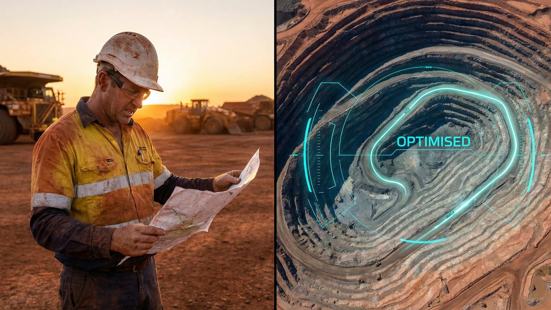
The mining industry was one of the earliest adopters of commercial drone technology in Australia. Initially, the focus was on volumetric surveys and stockpile measurement. A drone equipped with photogrammetry software could replace a ground survey team and produce more accurate results in a fraction of the time. That operational use case alone justified the investment.
But the applications have expanded rapidly. Drones now monitor tailings dams, inspect conveyor systems, assess blast patterns, track rehabilitation progress, and document compliance with environmental conditions. The data feeds into digital twin platforms, giving operations managers real-time visibility over assets that stretch across hundreds of square kilometres.
What many mining companies undervalue is the marketing and stakeholder communication potential. A mining operation that can show aerial footage of its rehabilitation program to regulators, investors, and community groups demonstrates transparency and accountability in a way that written reports cannot. We have seen clients use our aerial content in everything from annual reports to community consultation sessions, changing the tone of conversations from adversarial to collaborative.
Maritime: Documenting Scale and Capability
The maritime industry presents unique challenges for aerial operations. Ships move. Weather changes rapidly near the coast. Salt spray, wind gusts, and magnetic interference from steel hulls all affect drone performance. Operating safely in these conditions requires experience, specialised equipment, and rigorous risk management.
Our work with maritime clients has taught us that the value of aerial content in this sector goes far beyond documentation. When a shipbuilder launches a new vessel, that event is a showcase of engineering capability. The aerial footage from launch day becomes a marketing asset that lives for years, used in tender submissions, client presentations, and trade show displays across the globe.
Port operations use drone footage for operational planning, security assessments, and infrastructure condition monitoring. A drone can inspect a wharf face, a container stack, or a navigation channel marker faster and safer than traditional methods. The resulting images and data support maintenance scheduling, compliance reporting, and capital expenditure planning.
Safety and Regulatory Considerations
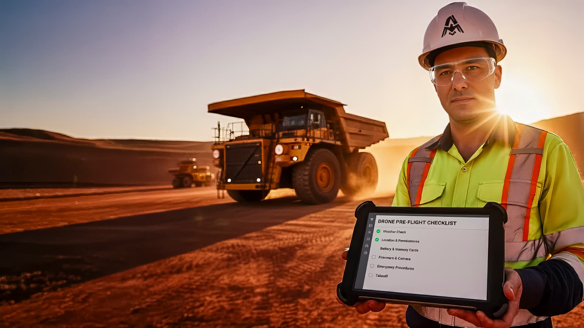
Both mining and maritime environments are classified as hazardous workplaces under Australian law. Flying drones in these settings requires more than standard CASA certification. Operators need site-specific inductions, risk assessments, and often integration with the client's own safety management system.
In mining, you may encounter restricted airspace around active blast zones, helicopter operations for personnel transport, and exclusion zones around heavy machinery. Your flight plan needs to account for all of these. In maritime, you are dealing with port authority regulations, vessel movement schedules, and the practical challenge of launching and recovering a drone from a moving platform or a confined dock.
This is why experience matters. An operator who has logged hundreds of hours in these environments understands the risks intuitively. They know that a sea breeze hitting a container ship creates a wind shear zone on the lee side. They know that a haul truck creating a dust cloud can blind sensors and trigger a fly-away. This operational knowledge does not come from a training course. It comes from years on site.
The Business Case for Aerial Operations
The return on investment for drone operations in mining and maritime is measurable. A helicopter survey that costs $15,000 per day can be replaced by a drone operation at a fraction of the cost with comparable or better data quality. A scaffolding inspection that takes three days and exposes workers to height risk can be completed by a drone in hours with zero human exposure.
But the less quantifiable benefits are equally important. Better data leads to better decisions. More frequent monitoring catches problems earlier. Higher quality marketing content wins more contracts. And demonstrating a commitment to innovation and safety through drone adoption signals to the market that your operation is forward-thinking and well-managed.
If your mining or maritime operation has not yet integrated drone services into your operational and marketing toolkit, the question is not whether to start. It is how quickly you can gain the competitive advantage that your peers are already building. Explore our service tiers or get in touch to discuss what drone operations could deliver for your business.